


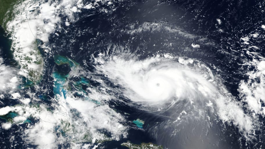
The National Hurricane Center has offered a new potential path for Hurricane Dorian, which is barreling towards the Bahamas as a Category 4 storm, and was expected to hit Florida on Monday. The center has raised the possibility that it could bypass Florida altogether and make landfall further north on the Carolina coast, or that it could skim the entire coastal area and wreak havoc in a number of states. A NOAA hurricane hunter reconnaissance aircraft that flew inside the eye of the storm collected new data that shows Dorian is both stronger and more likely to move westward as it gains strength over warm open water later in the weekend. National Hurricane Center Director Ken Graham said Florida is still in the “cone” which encompasses the area of potential landfall, but now so are the Carolinas, and that people living in the storm’s path should expect it to make landfall late Monday or Tuesday. At its current trajectory, the storm is expected to pack a punch of 145 mph winds and produce a storm surge of upwards of 10 to 15 feet.


